Barron Gorge National Park - Douglas Track
Yesterday I ventured off to the Barron Gorge National Park. The Park starts on the northern outskirts of Cairns and covers an area that goes all the way to Kuranda and the Tablelands. I live on the far south side of Cairns so just getting to the Park was an epic journey. I didn't really know too much about the track that starts at the Park, I just knew there was one. So when my mate and I arrived and had a look at the information board we realised there is a number of tracks and trailheads you can take. The weather was pretty miserable with drizzling rain and storm clouds threatening in every direction so we decided to take the shorter of the three major tracks - plus it was late when we finally got started. The track we took is called the 'Douglas Track' and this track takes you from the bottom of the Barron Gorge National Park all the way to Speewah on the Tablelands. The start of the track is up through dense rainforest until you finally come out onto the actual Kuranda Scenic Railway Track - you have to walk along the track for about 50metres (dangerous if you ask me) and then start another upward track through a grassy trail. Once you reach the top of the grass trail which I think is called'Red Bluff' - you have great views . The track then branches off from where you can either take the McDonald Track which ends up at Kuranda or continue with the Douglas track which takes you to 'Glacier Rock' and Speewah. It was already 3-30pm by the time we reached the top of Red Bluff so we decided we would just go to Glacier Rock and save the Speewah hike for another time. We ran up to Glacier Rock (steep grass track) in good time and took a 15min break - just as we were leaving it started raining. We ran all the way back down to the base in about 30mins. The knees and ankles are feeling it today and I don't know how on earth I didn't go arse up as it was so slippery!
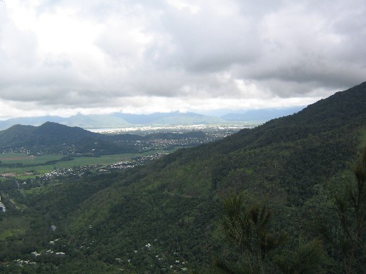
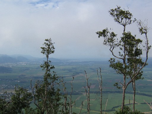
 The top of Glacier Rock.
 The Kuranda Railway Line. You have to walk along this for 50metres and then go up that hill on the right - very steep to start with but then flattens out and has a good track.
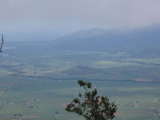
 The Barron River from the start of the Barron River National Park.
- More pics taken from Glacier Rock below.
 The top of Glacier Rock.
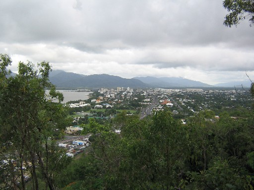
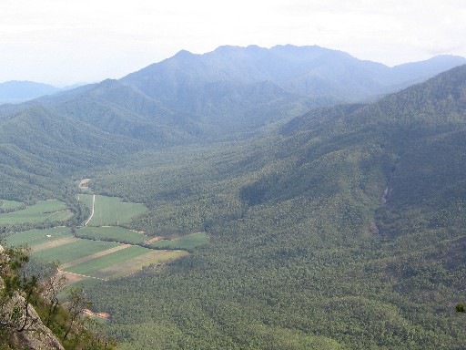
 Looking down onto the Barron River from Red Bluff.
 The Kuranda Railway Line. You have to walk along this for 50metres and then go up that hill on the right - very steep to start with but then flattens out and has a good track.
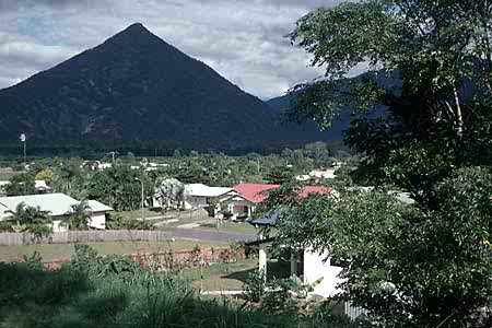
 Looking onto Mt Whitfield from Red Bluff.
 The Barron River from the start of the Barron River National Park.
- More pics taken from Glacier Rock below.
posted by the_en4cer at 7:15 PM
2 comments
![]()


